Cuts and multi-clip
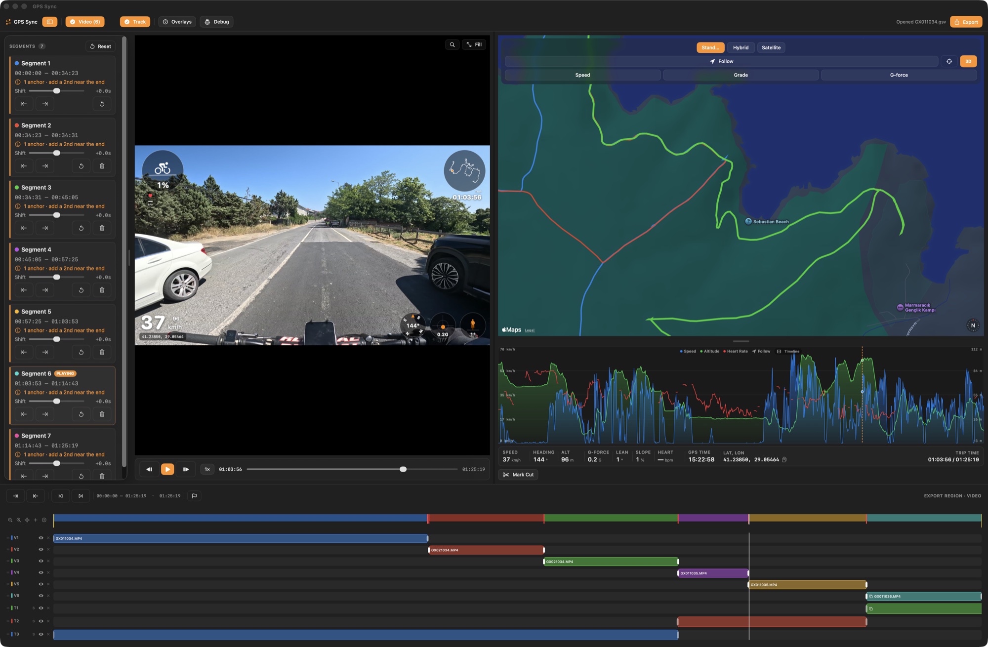
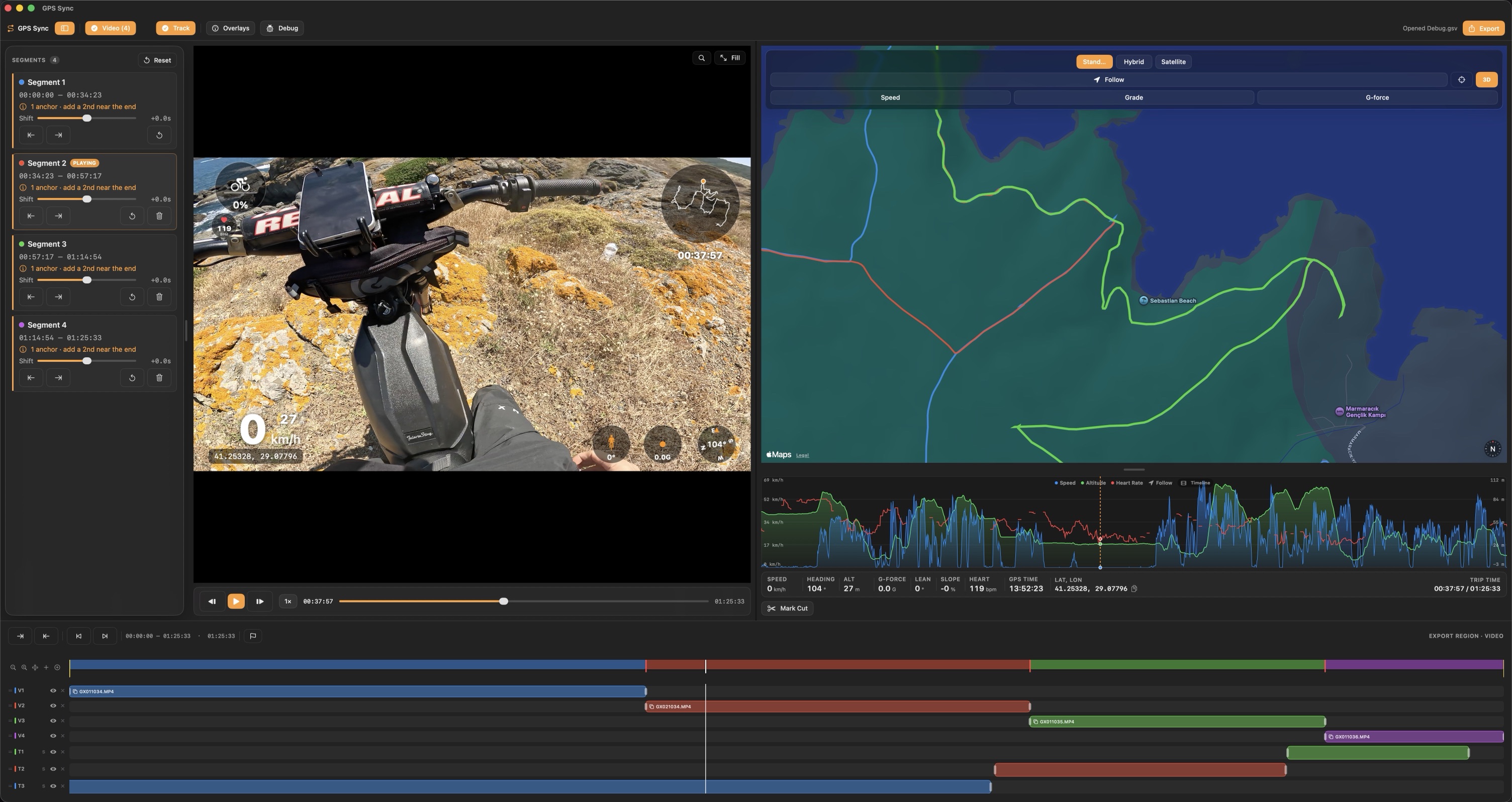
The video is split into segments at every cut and clip boundary, and each segment is aligned to GPS on its own.
GPS Sync
Video, Apple Maps and telemetry in one window.
Introducing GPS Sync
Native macOS app built with SwiftUI, AVFoundation and MapKit. No account, no data collection. Offline apart from Apple Maps tiles.
The video is split into segments at every cut and clip boundary, and each segment is aligned to GPS on its own.
Drag the track into place, Sync by Time from the recording clocks, or read a GoPro’s embedded GPS.
GPX, KML, KMZ, NMEA, DJI .SRT or a Tripper .trip in; the synced track out again, remapped to your video.
Most overlay apps line up one clip with one GPS file using a single fixed offset. Trim the video, or let the camera chapter the recording, and that offset stops working. GPS Sync splits the video into segments and syncs each one independently.


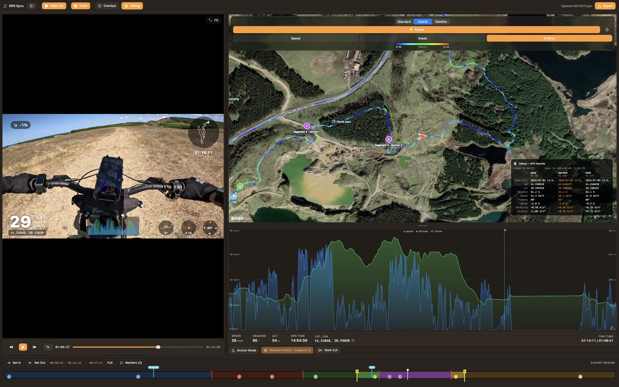
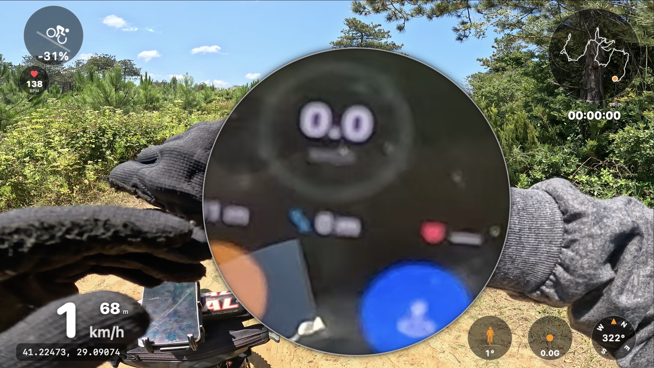
Mark a splice and align each side on its own; the removed time drops out of each segment’s alignment.
GoPro chapters and stop-start files form one timeline, each clip its own segment.
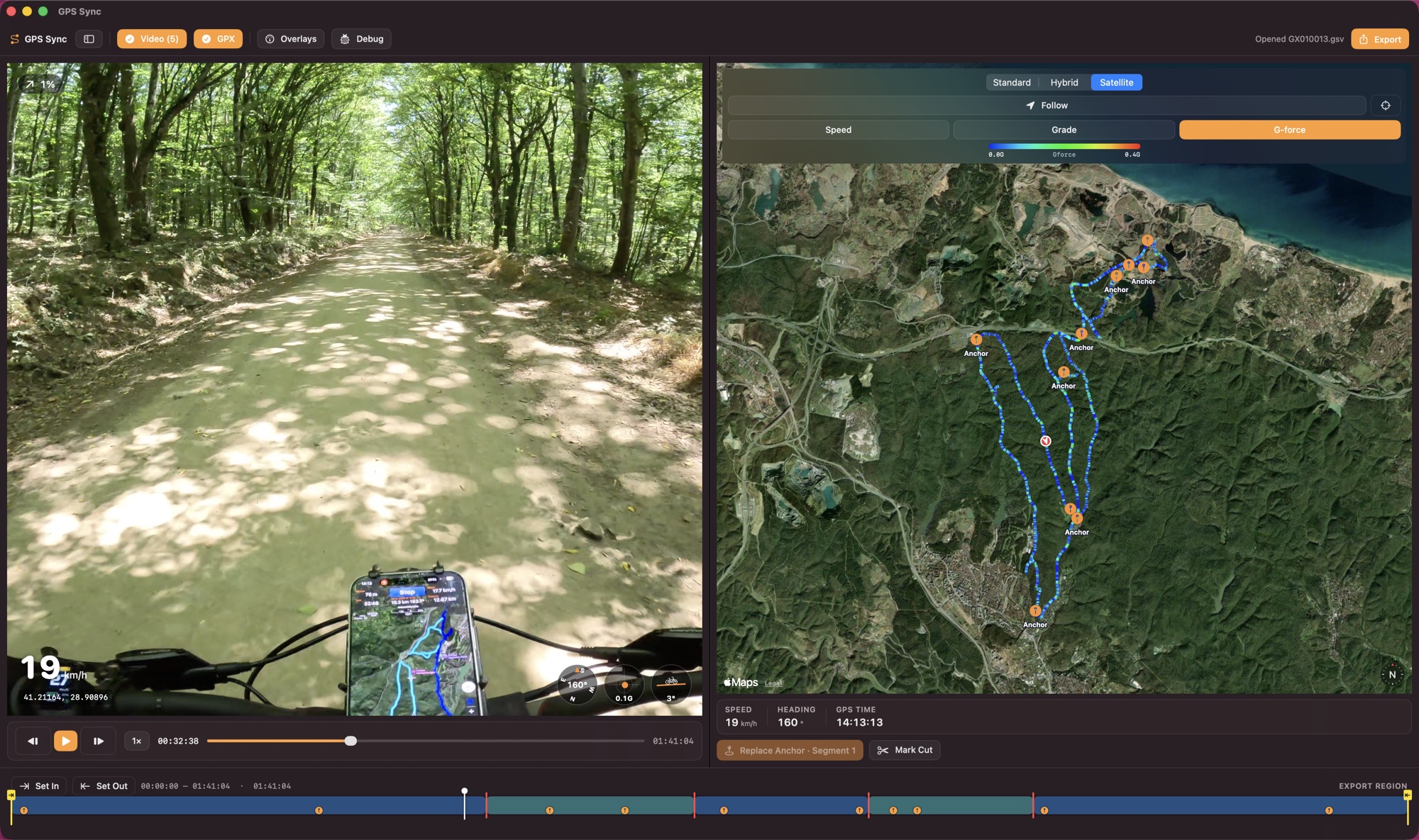
One click matches recording time to the GPX timestamps; a per-segment Shift slider (up to ±300 s) does the rest.
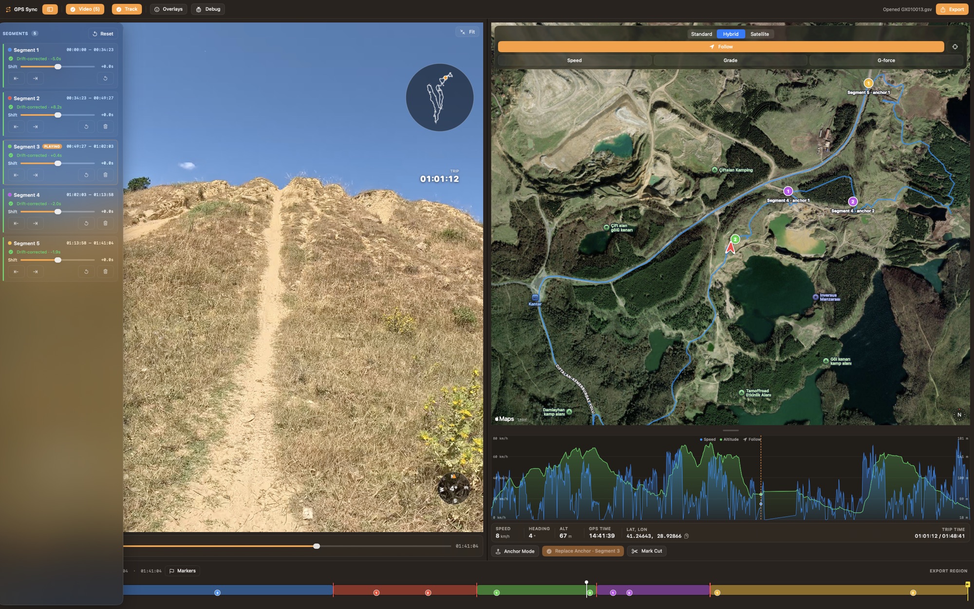
GPX, .trip, DJI .SRT and embedded GPS side by side. Where several have data, the topmost track wins.
Every video file is a block on its own row: slide, trim in place, snap to playhead, markers and edges.
Split clips or tracks at the playhead, duplicate onto a new row, group items to move them as one.
Standard, Hybrid or Satellite, 3D terrain, and a Follow mode that chases the marker.
Speed, elevation and heart rate, with zoom, scrub and a live playhead. Bridged heart-rate gaps are drawn lighter.
A Tripper .trip brings barometric elevation, true slope, g-force, lean and heart rate measured on the ride.
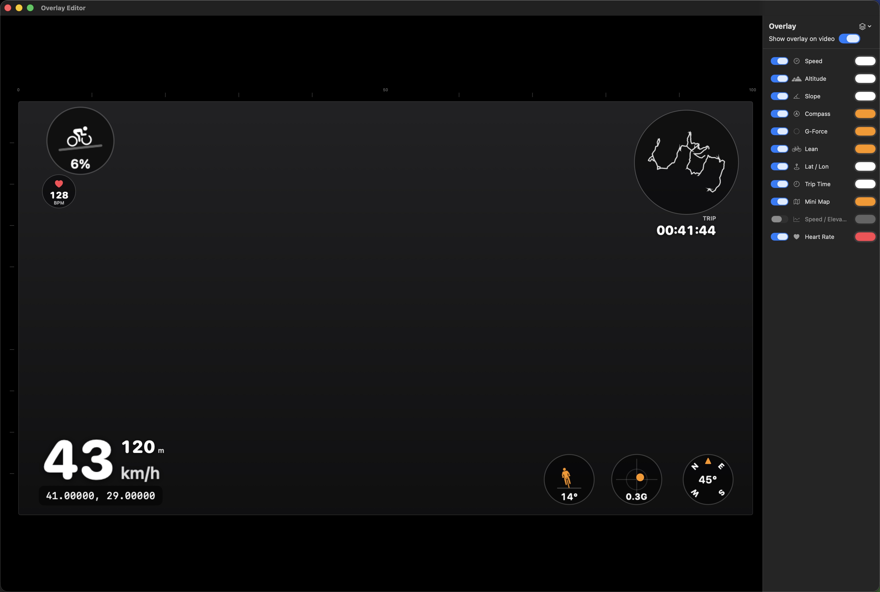
Place, resize and colour elements on a 16:9 canvas, with guides, layer order, snapping and rulers.
Speed, altitude, slope, compass, G-force, lean, heart rate, mini-map, graph — plus power, RPM, battery and ride mode on CAN-equipped e-motos.
Built-in and saved presets, metric or imperial, free text in any installed font, lines, boxes and gradients.
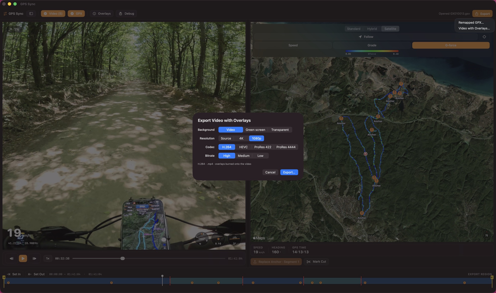
Source, 4K or 1080p in H.264, HEVC or ProRes, GPU-accelerated on Apple silicon with audio kept.
A chroma-key background or a ProRes 4444 alpha channel for compositing in your editor.
GPX, KML, KMZ or NMEA rebased to the video timeline, markers as waypoints, scoped to in and out points.

GPS Sync for macOS. Built for cut and multi-clip footage.
Requires macOS 26 on Apple silicon